Phone No.

+91 87786 68052

Email Address

info@mrgeologicalsolutions.in

Drone Survey

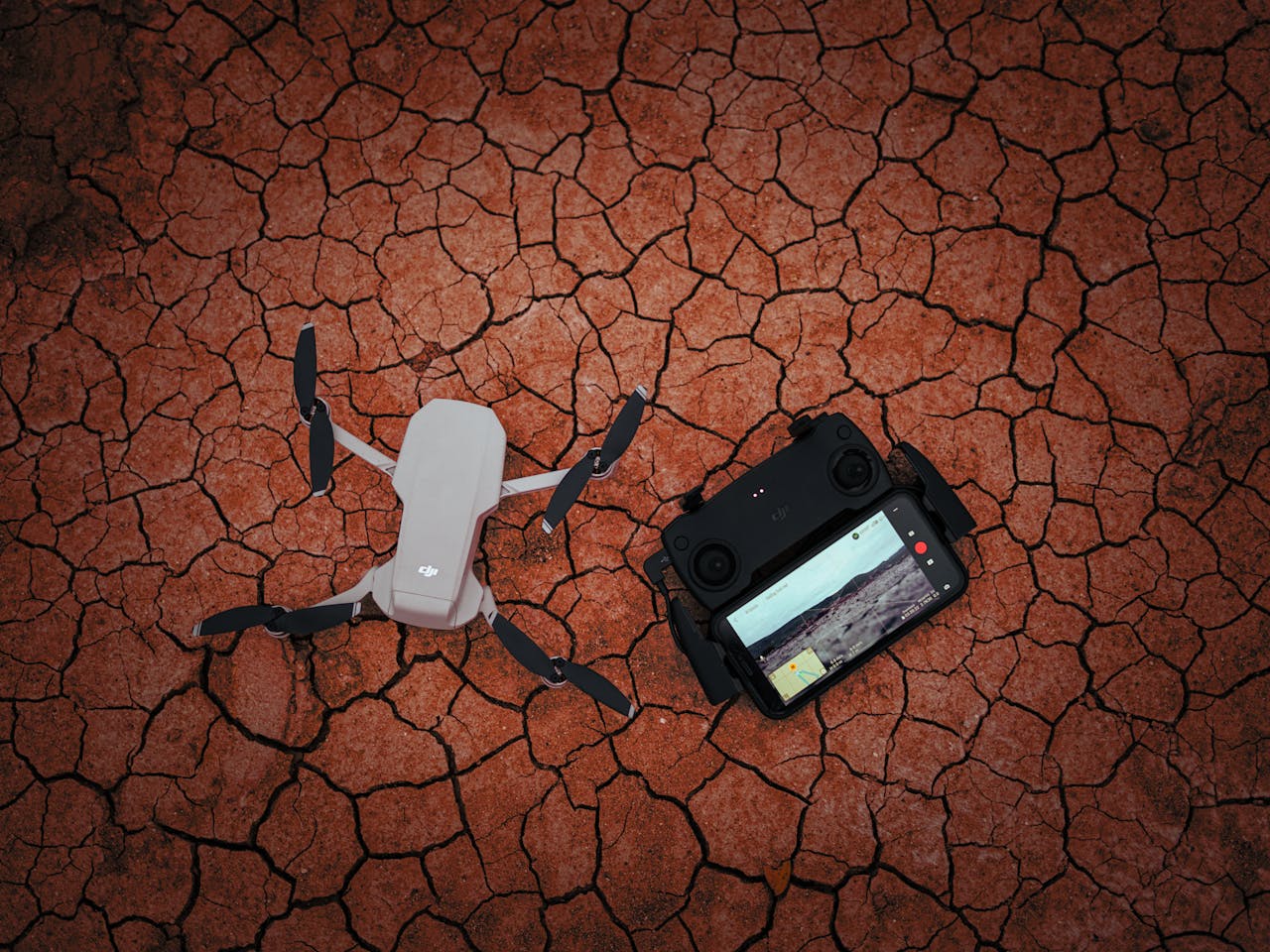
Drone with controller on a dry, cracked ground illustrating modern technology usage in harsh environments.

Drone Survey

MRGS leads the way in pioneering surveying techniques, and our drone survey services exemplify our commitment to cutting-edge technology. Harnessing the capabilities of drones, we offer clients efficient, precise, and adaptable surveying solutions. Our proficiency in drone surveying encompasses diverse industries and applications.
drone survey services

Advanced Aerial Imaging

MRGS utilizes state of-the-art drones equipped with high resolution cameras and sensors to capture intricate aerial imagery. This technology enables us to generate accurate maps, 3D models, and Ortho mosaics of your project area.

Infrastructure Inspection

Drones serve as excellent tools for inspecting infrastructure, including pipelines, power lines, and buildings. We offer drone services for visual inspections, defect identification, management.

Resource Evaluation

Employing drones, we effectively assess the quality and quantity of resources, whether it’s for mining, agriculture, or environmental purposes. Our drone surveys provide valuable data to optimize resource management.

Enhanced Safety and Efficiency

Drones enhance safety by reducing the need for personnel to access hazardous or remote areas. They also significantly improve surveying efficiency, providing rapid and cost-effective data collection.

Precision Mapping and Topography

Drones are ideal for mapping and topographical surveys. We can rapidly create elevation models, contour maps, and other vital spatial data for your project.

Environmental Surveillance

MRGS is committed to environmental stewardship. We employ drones to conduct environmental impact assessments, monitor wildlife, and oversee conservation efforts in project areas.

Tailored Solutions

MRGS customizes our drone survey services to meet your specific project requirements. We have the capability to integrate drone data with various software platforms and provide bespoke reports and analyses.

Scroll to Top