
FAQ
Trusted Geological Experts
MR Geological Solutions
The MR Geological Solutions (OPC) Pvt Ltd (MRGS) was founded since 2013, but incorporated in 2022. To provide specialist services to Water Resources, Mining, Remote sensing & GIS and Geotechnical sector. Since then, the company has added new skills and capabilities to meet expanding resource sector requirements to become one of the foremost Geological consultancies in India.
Frequently Asked Questions
MRGS offers specialized services in Mining Solutions, Water Resources, Remote Sensing & GIS, Geotechnical Investigations, Drone Surveys, LiDAR Mapping, Photogrammetry, and Surveying & Mapping services.
Our mining services include geological investigations, mineral resource estimation, mine planning & design, feasibility studies, and mining support solutions for various projects.
Remote Sensing and GIS technologies help in accurate land analysis, mapping, spatial data management, environmental monitoring, and infrastructure planning using satellite and geospatial data.
Drone surveys are used for aerial mapping, land surveys, topographic analysis, mining inspections, infrastructure monitoring, and high-resolution data collection with improved accuracy and efficiency.
LiDAR (Light Detection and Ranging) is an advanced laser-based surveying technology used to create highly accurate 3D terrain models, contour maps, and elevation data for engineering and infrastructure projects.
Our water resource services support agriculture, construction, mining, infrastructure, environmental management, and government projects through groundwater studies, flood analysis, and water management solutions.
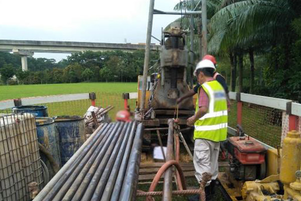
Geotechnical solutions involve soil testing, ground investigations, foundation analysis, and engineering assessments to ensure the safety and stability of construction and infrastructure projects.
Photogrammetry is the process of generating accurate measurements and maps from aerial photographs or drone imagery for topographic mapping, planning, and engineering analysis.
Yes, MRGS provides surveying and mapping services for both small and large-scale projects using advanced technologies including DGPS, RTK, UAV mapping, and conventional surveying methods.
MRGS combines experienced professionals, advanced technologies, and industry expertise to deliver accurate, reliable, and cost-effective geological, GIS, surveying, and engineering solutions across India.